Where is Saint Petersburg?
Contents
Coordinates: 59°56′15″N 30°18′31″E
Saint Petersburg is located in western Russia, within the country’s Northwestern Federal District. The city was founded on the River Neva, not far inland from where the river reaches the Baltic Sea in the Gulf of Finland. St. Petersburg is fairly close to both Finland and Estonia, and have road connections to both Helsinki and Tallinn. Moscow is much farther away, roughly 625 km to the south-east.
Geographical features
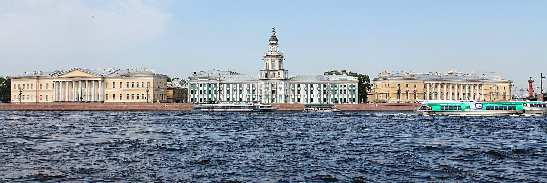
Situated along the shores of the Neva Bay of the Gulf of Finland, St. Petersburg finds itself within the middle taiga lowland region.
Parts of the city has been built on islands in the river delta, including Vasilyevsky Island and the artificial island created between Obvodny canal and Fontanka. Other examples of notable islands here are Kotlin, Petrogradsky Island, Dekabristov, Krestovsky, Yelagin, and Kamenny Island.
North of the city, you’ll find the Karelian Isthmus. In the south, the city crosses the Baltic-Ladoga Klint and reaches into the Izhora Plateau. The Baltic-Ladoga Klint is an erosional limestone escarpment affecting several islands in the Baltic Sea, including islands belonging to Russia, Estonia and Sweden, respectively. The Izhora Plateau is an elevated limtestone landform; it’s northern edge is formed by the Baltic-Ladoga Klint.
How big is Saint Petersburg?
The city proper is 605.8 km2 (233.9 square miles), but the area of the federal subject is much bigger: 1,439 km2 (556 sq mi). This larger area contains both the city proper, nine municipal towns and 21 municipal settlements.
What’s the elevation?
The elevation of Saint Petersburg ranges from sea level to 175.9 meters.
Its low elevation and closeness to the river and the sea makes St. Petersburg prone to flooding, especially west of Liteyny Prospect. To mitigate the risk, the St. Petersburg Dam was built in 1978-2011. The last really devastating flooding occurred in 1975 when the water rose 281 cm above normal sea level.
The highest point in St. Petersburg (175.9 meters) is the Orekhovaya Hill in the Duderhof Heights. The Duderhof Heights is a small highland area to the south-west, on the northern edge of the Izhora Plateau.
Is it very dark in Saint Petersburg during the winter season?
Saint Petersburg is located at circa 60° N latitude, which is roughly the same as Helsinki, Tallinn, Stockholm, and Oslo. This is not north of the polar circle (66°33′47.6″ N), so Saint Petersburg does not experience any polar nights during the winter season. The shortest day length is 5 hours and 53 minutes.
In the summertime, Saint Petersburg does not experience a proper midnight sun, but the longest day lasts for 18 hours and 50 minutes. From mid-May to mid-July, the city enjoys the so called “white nights” with long non-dark evenings, very short nights, and early arriving morning light. This is especially prominent around the summer solstice.
What’s the climate of Saint Petersburg?
Under the Köppen climate classification, the climate of Saint Petersburg is classified as Dfb – a humid continental climate.
The Baltic Sea is a moderating influence on the climate here.
A warm, humid and short summer period is followed by a long, moderately cold and wet winter season. The average frost-free period in St. Petersburg is 135 days.
Compared to Helsinki – which is also located on the Baltic Sea and on roughly the same latitude – Saint Petersburg is a bit colder in the winter and somewhat warmer in the summer. Compared to Moscow, St. Petersburg have noticeably warmer winters, both because of the Baltic Sea and due to indirect Gulf Stream influence through Scandinavian winds.
What’s the average temperature in Saint Petersburg?
The average annual temperature is 5.8 °C (42.4 °F).
Does it get very cold in Saint Petersburg during the winter?
Yes, it can get quite cold in Saint Petersburg during the winter, but it’s usually warmer than in Moscow. St. Petersburg’s low temperature record is −35.9 °C (−32.6 °F), but it is a very old record – from 1883. The average minimum temperature in February is −8.5 °C (16.7 °F), which is a bit nippy but definitely not extreme.
During an average year, the River Neva will freeze in November or December, and remain frozen until the ice begin to break up in April.
Generally speaking, the city proper is slightly warmer than the outlying suburbian areas.
Is it snowy in Saint Petersburg?
On average, Saint Petersburg have 118 days with snow cover from December to March.
For February, the average snow depth is 19 cm.
Precipitation
The average annual precipitation is 660 mm. The part of the year with the most precipitation is late summer.
On average, St. Petersburg experiences 165 overcast days per year.